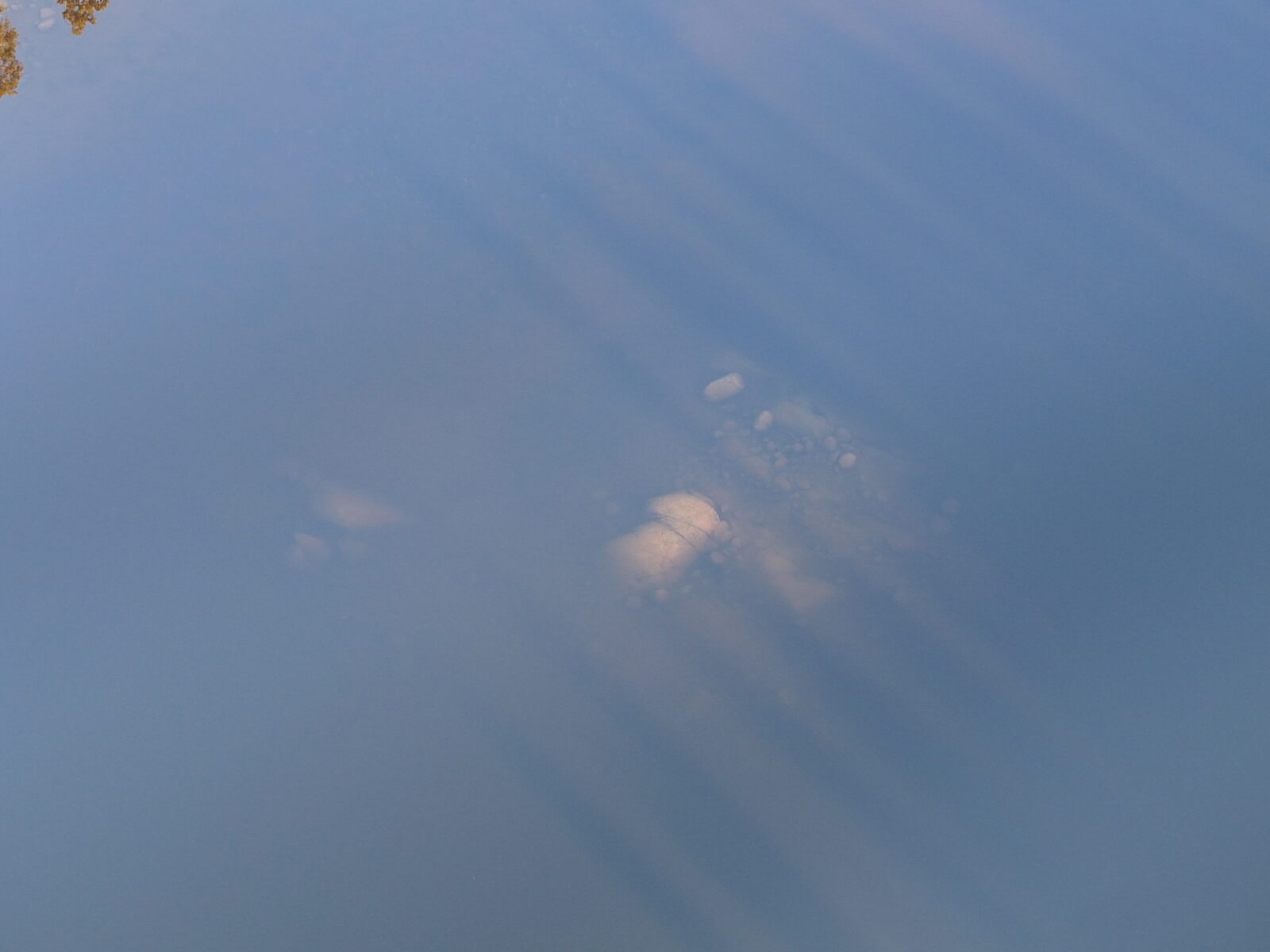

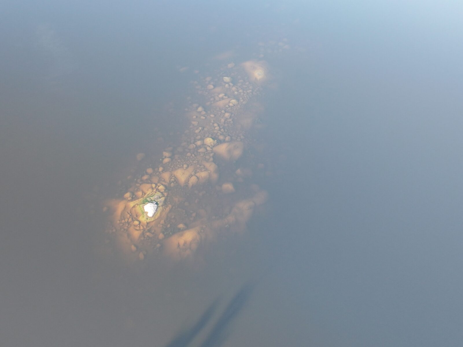
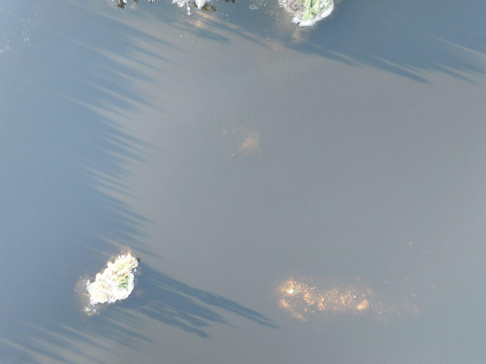
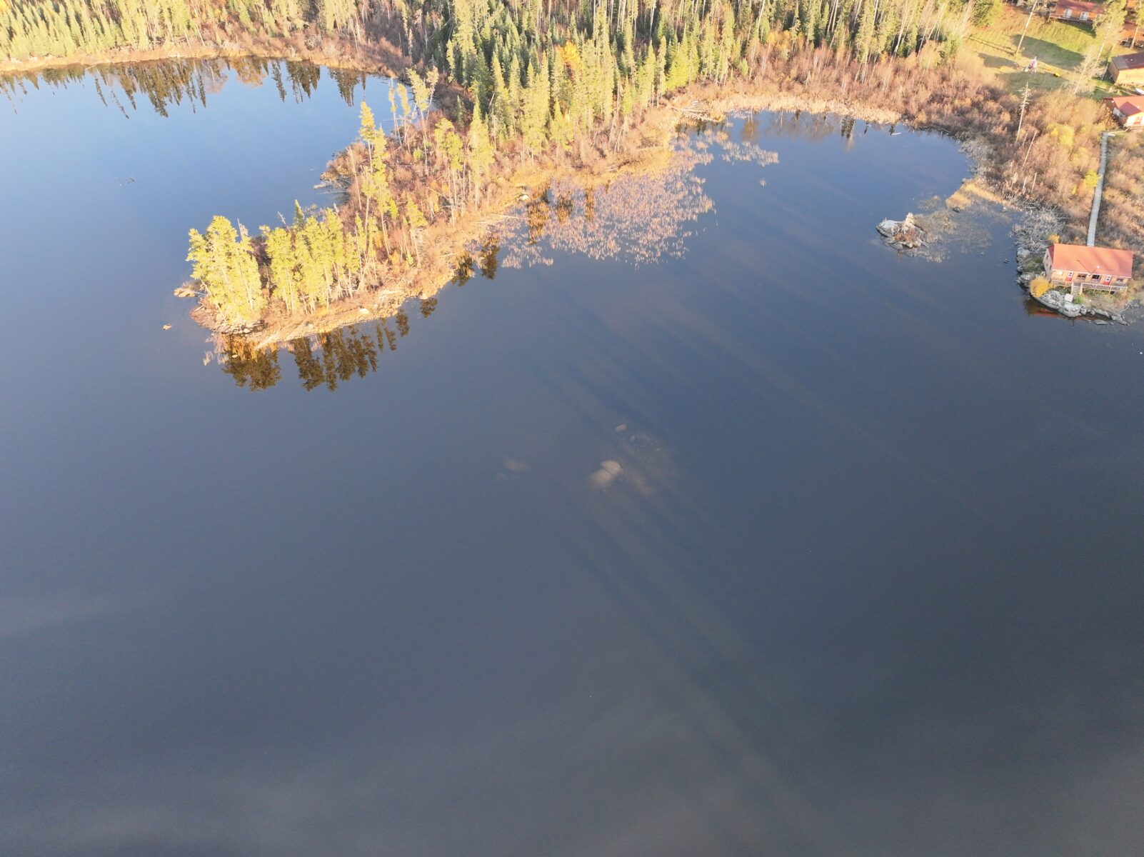
We are going to be adding new aerial photos of rock structures, points, weed edges with our new drone. Don’t be surprised if you hear a buzz while out on the lake next year. No it’s not a giant mosquito (but it could be). It’s probably me zooming around with our new drone. We aim to display images of rocks, points, weed edges and more. Our goal is to give anglers more of an understanding of the underwater world the lakes we fish. Another tool helping anglers boat more fish!
Check out some of these great images of rock shoals and reefs near camp.
More to come!
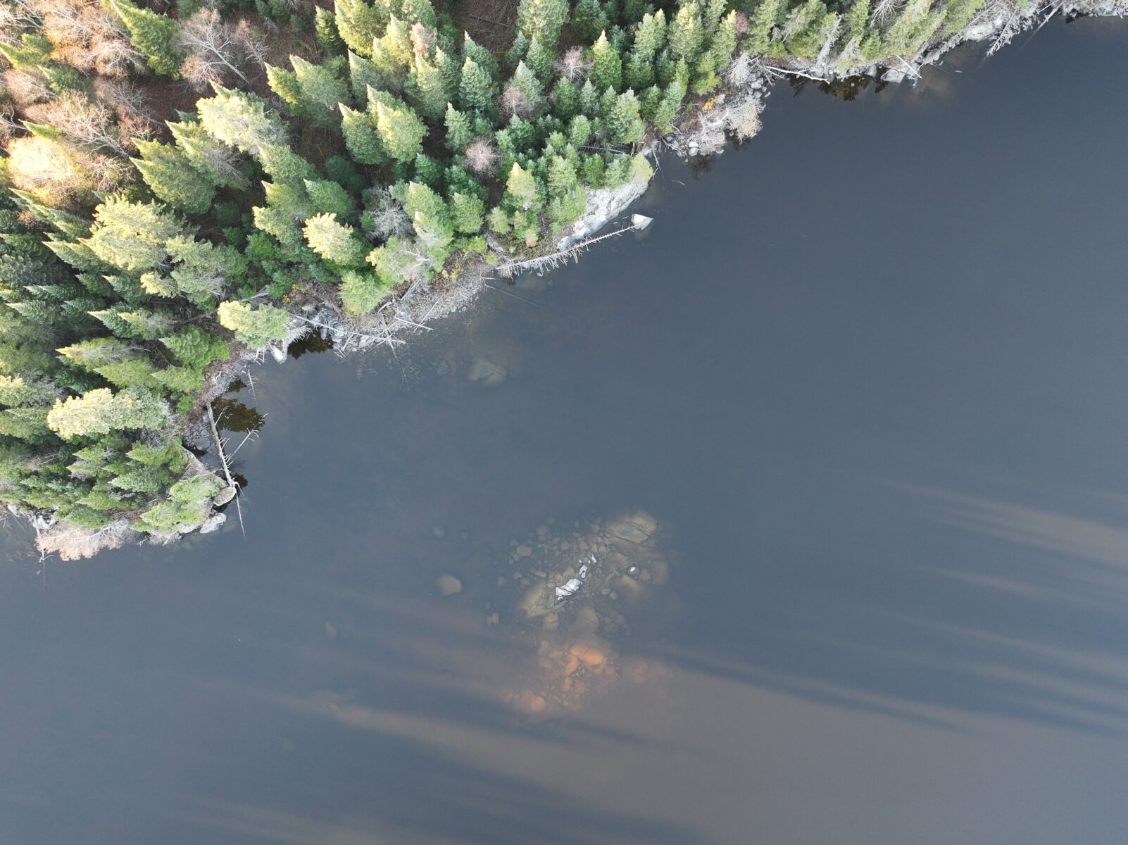
Rock shoal close to mainland north of Gut Island. Definitely hittable. We do put a marker on it.
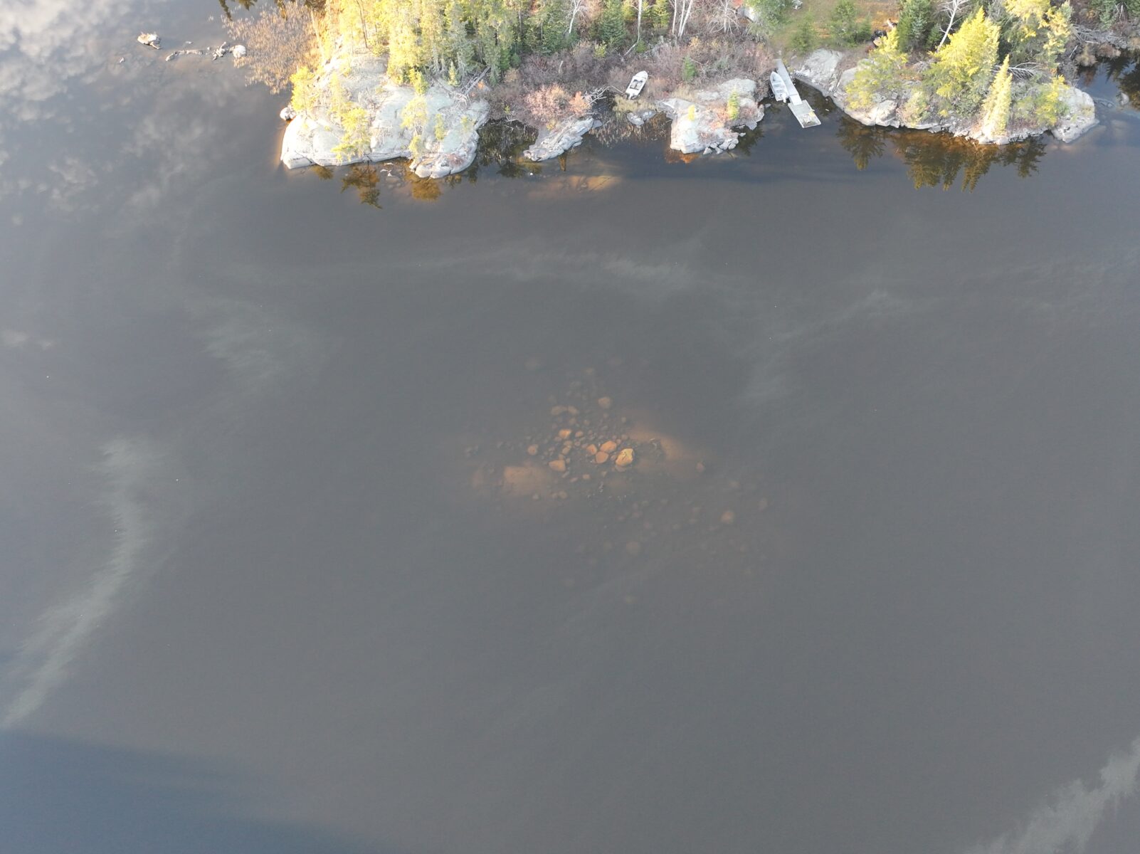
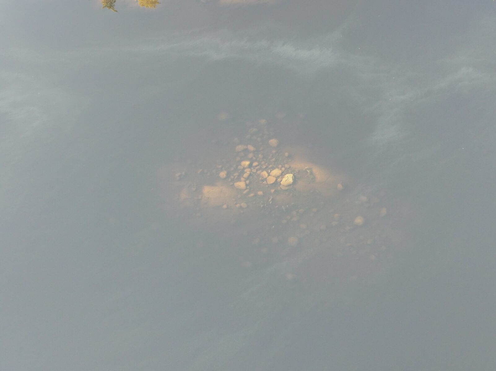
Rock pile near Canada North – hittable and not marked with a jug